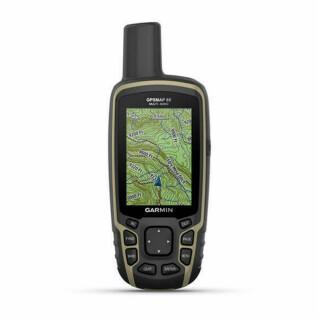
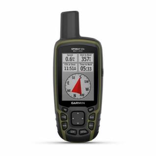
Description
Hiking Gps Garmin Montana® 700
GPS rugged handheld with a 5-inch touchscreen and preloaded TopoActive Europe maps
Montana® 700 is a rugged and versatile portable GPS with route generation for roads and trails.
Montana® 700 is for outdoor enthusiasts who want a rugged, versatile portable GPS with route generation for roads and trails. With its glove-friendly 5-inch touchscreen and detailed TopoActive Europe maps, it's the ideal device for guiding you on foot, bike, kayak, off-road vehicle or other.
General
- PHYSICAL DIMENSIONS : 8.76 x 18,30 x 3,27 cm
- TACTILE SCREEN : Yes
- DISPLAY SIZE (WIDTH BY HEIGHT): 6.48 × 10.80 cm; 12.70 cm diagonal (5 in.)
- SCREEN DEFINITION (WIDTH BY HEIGHT): 480 x 800 pixels
- DISPLAY TYPE: Transflective WVGA, dual orientation
- WEIGHT: 397g including lithium-ion battery
- WATER RESISTANCE RATING: IPX7
- BATTERY: Rechargeable lithium-ion battery (included) or 3 AA batteries (not included); lithium recommended
- BATTERY LIFE: GPS mode: up to 18 hours
- Shipping mode: up to 330 hours
- MIL-STD-810: yes (thermal, shock, water, vibe)
- INTERFACE: Compatible with micro USB broadband and NMEA 0183
- MEMORY/HISTORY: 16GB (user space varies depending on included mapping)
Maps and Memory
- PRE-DOWNLOADED MAPS: Yes (TopoActive Europe)
- ADD MAPS OPPORTUNITY: Yes
- BASE MAP: Yes
- AUTOMATIC ROUTE SETTING (ROUTE BY ROUTE ROUTE FUNCTION): Yes (with optional mapping for detailed routes)
- MAP SEGMENTS: 15,000
- BIRDSEYE: Yes (directly on unit)
- INCLUDES DETAILED HYDROGRAPHIC CHARACTERISTICS (LITTORAL TRACES, LAKE AND RIVER SHORES, MARKINGS, SEASONAL AND PERMANENT WATERWAYS): Yes
- INCLUDES POINTS OF INTEREST WITH SEARCH FUNCTION (PARKS, CAMPGROUNDS, VIEWPOINTS AND PICNIC AREAS): Yes
- DISPLAYS NATIONAL, FEDERAL AND LOCAL PARKS, FORESTS, AND NATURAL PARKS: Yes
- STORAGE CAPACITY AND POWER: Yes (microSD™ card up to 32GB)
- WAYPOINTS: 10000
- TRACKS: 250
- TRACKING LOG: 20,000 points, 250 recorded gpx tracks, 300 recorded fit activities
- ROUTES: 250, 250 points per route; 50 automatic route setting points
- RINEX CONNECTION: Yes
Sensors
- HIGH SENSITIVITY RECEIVER: Yes
- GPS HANDSET : Yes
- GLONASS: Yes
- GALILEO : Yes
- BAROMETRIC ALTIMETER : Yes
- COMPASS : Yes (3 axes with tilt compensation)
- COMPASS GPS (IN MOTION) : Yes
Daily smart features
- CONNECT IQ™ (WATCH DIALS, DATA FIELDS, WIDGETS AND DOWNLOADABLE APPLICATIONS) : Yes
- SMART NOTIFICATIONS ON THE PORTABLE DEVICE: Yes
- VIRB® REMOTE CONTROL: Yes
- COMPATIBLE WITH GARMIN CONNECT™ MOBILE: Yes
- DYNAMIC WEATHER: Yes
Tracking and safety features
- LIVETRACK: Yes
Outdoor entertainment features
- NAVIGATION POINT at POINT: Yes
- ZONE CALCULATION: Yes
- HUNTING/FISHING CALENDAR: Yes
- MOON/SOIL INFORMATION: Yes
- XERO™ POSITIONS : Yes
- GEOCACHE MODE: Yes (real-time treasure hunt)
- COMPATIBLE CUSTOM MAPS: Yes (500 custom map areas)
- JPEG VIEWER: Yes
- INREACH REMOTE CONTROL WIDGET: Yes
- LED BEacon: Yes
inReach® Features
- COMPATIBLE WITH INREACH®: Yes
Outdoor applications
- COMPATIBLE WITH GARMIN EXPLORE™ FOR WAYPOINTS, TRACKS, ROUTES AND ACTIVITIES: Yes
- COMPATIBLE WITH GARMIN EXPLORE WEBSITE: Yes
- DOG TRACKING: yes (when paired with a compatible dog tracking system)
Connections
- WIRELESS CONNECTIVITY: Yes (Wi-Fi®, Bluetooth®, ANT+®)